BRADING DOWN
| On 1st March 2011, Brading Down became the seventh Local Nature Reserve to be designated on the Island and the first since 1993. |
Where is Brading Down?
| Brading Down lies at the eastern end of the central part of the chalk Downs, to the west of the gap where the town of Brading is situated. It is crossed by the main Newport to Brading road and footpaths B28, B29, B42, B41 and B65 provide access on foot. |  |
When can I visit?
Brading Down is always open for walkers. If you are walking over the site with your dog, please keep it under control and do not allow it to worry the grazing animals.
Why is Brading Down so special?
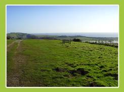
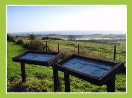
 | Brading Down provides an impressive viewpoint for visitors to the east of the Island. The Isle of Wight Council owns 35 hectares of south facing chalk grassland, which is crisscrossed by bridleways and footpaths. The main area of Brading Down is fenced and grazed but access is available from the car parks bordering the main Newport to Brading Road. |
The thin chalk soils to the east of the site support a typical downland plant community with pyramidal orchids being a particular feature in the summer. In recent years a programme of scrub clearance has been undertaken. The area is good for butterflies including common blue, chalkhill blue, small, large and dingy skippers, marbled white, gatekeeper, and meadow brown.
In addition to the wildlife interest of chalk downland, the ancient field system on Brading Down is a Scheduled Ancient Monument. The finest surviving ancient field system on the Island is to be found on the down. This is likely to be of late Iron Age or Roman date and highlights the last time the fields were ploughed. The views over Brading Roman Villa and Sandown Levels reinforce the historical significance of the area.
 |
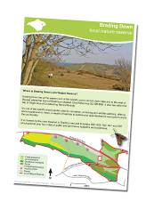
| Brading Town Council has created educational leaflets about the local environment of Brading. Feel free to download these leaflets and print copies. Alternatively visit the Brading Centre, West Street, Brading where you can obtain hard copies of the leaflets. You can download a Brading Down factsheet here which contains a map of the site and things to look out for during your visit. Click here if you would like to find out more about getting involved with your local nature reserve. |  |
Page last updated on: 21/03/2011


