


| | | |
NITON AND WHITWELL PARISH COUNCIL | ||
| | ||
| | ||
| Welcome to the Parish Council Website | ||
| | ||
| If you wish to make a comment or a contribution please contact the clerk. | ||
| | ||
| | The Villages | |
| | ||
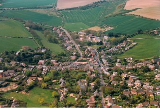
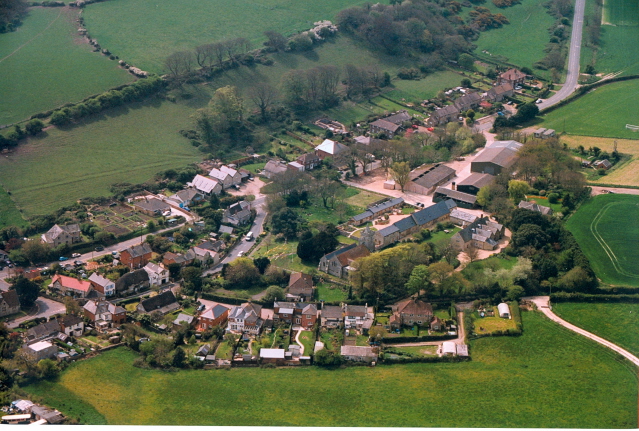
| The villages of Niton and Whitwell are situated on the southern tip of the island. They comprise 1300 hectares of mainly agricultural land. | ||
| | ||
| | ||
 | ||
| | ||
| Niton Village | ||
| For a larger image click here | ||
| | ||
 | ||
| | ||
| Niton Village | ||
| For a larger image click here | ||
| | ||
| Photographs supplied by Mr Mike Cooper | ||
| | ||
| The population at the time of the 2001 census was Niton 1142 and Whitwell 578. | ||
| | ||
| There are good examples of stone built houses and walls, thatched roofs and ancient farmsteads in both villages. | ||
| | ||
| A small community of fishermen - mostly for crab and lobsters operates from Castlehaven, Niton. | ||
| | ||
| There are areas of historically unstable ground on the Undercliff where they have been numerous landslides. The 1928 "fall" cut the old Niton/Blackgang road in half. | ||
| | ||
| An ambitious scheme aimed at reducing the extent and frequency of "slides" through a system of land drainage/sinks coupled with rock armour sea defences in Reeth Bay was completed in 2005. | ||
| | ||
| Most of the facilities are cantered in Niton, which has a good range of shops, a GP's surgery, a library, a recreation ground, a football field and a primary school. There are two public houses in Niton and one in Whitwell. | ||
| | ||
 | ||
| | ||
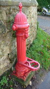
| Water Pump Whitwell | ||
| | ||
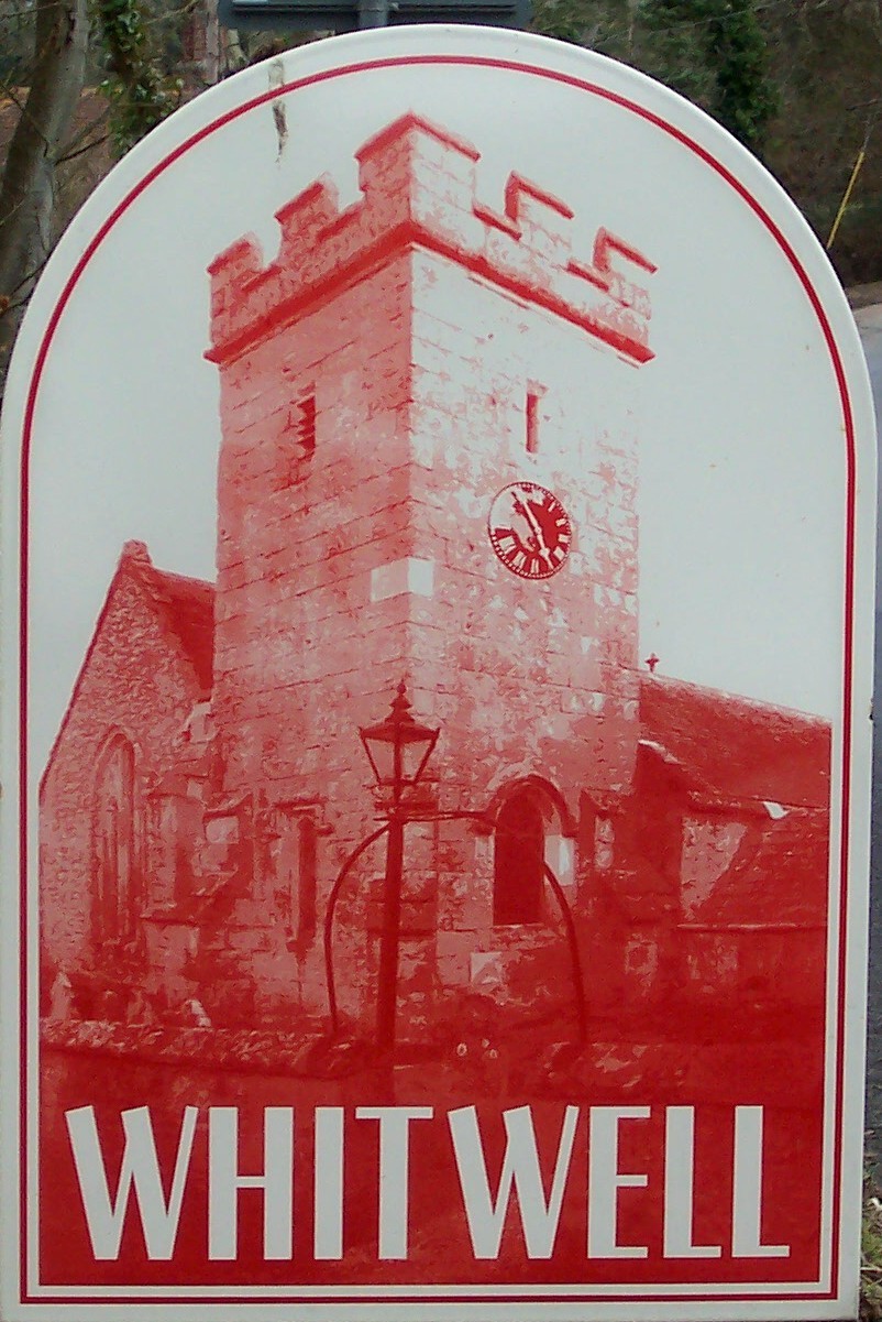
| Both villages have a parish church and a village hall. | ||
| | ||
| | The Parish Council | |
| | ||
| The Parish Council has 10 members. Six for Niton ward and four for the Whitwell Ward. The Council meets ten times a year alternating the venue between the two villages. | ||
| | ||
| The aims for the parish council for the current year are: | ||
| | ||
| Bert Sprake Memorial Garden Niton | ||
| Flowerbed opposite the parish church Whitwell | ||
| Niton Recreation Ground new play equipment | ||
| Revised Parish Plan | ||
| Village Design Statements | ||
| Whitwell Allotments | ||
Page last updated on: 04/05/2010