


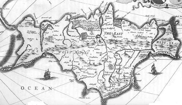
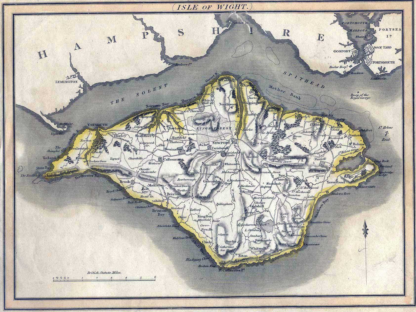
MAPS
Ordnance Survey Maps
- The Record Office keeps 25 inch O.S. maps; the editions are dated 1862, 1898, 1908, 1939, 1971. The collection is, however, not complete.
- There are also 6 inch O.S. maps, dated 1862, 1898, 1908 and 1939. Once again the series is not complete - in particular, very few second edition maps are held.
- Draft 6 inch O.S. maps, dated 1793, are also available.
Tithe Maps
- These cover individual parishes and were produced between 1838 and 1845. Scales vary but can reach 15 inches to a mile.
- There are accompanying reference books which record names of owners, occupiers, acreage etc.
- An almost complete set of maps and books is held.
Estate Maps
There are some late eighteenth century estate maps, notably relating to the estates of the Worsleys (which covered parts of Godshill, Bembridge, Whitwell, Chale, Shalfleet and Whippingham) and Oglanders (which covered Brading and St Helens).
WEBLINKS
| | | |
| | ||
| | | |
| | ||
| | | |
| | ||
| | | |
| |
 |
Page last updated on: 19/08/2005